Home › Destinations › Doi Inthanon
Northern Thailand
Doi Inthanon
Thailand's highest mountain, with cloud forest, thundering waterfalls, royal pagodas and Karen villages growing coffee on terraced hillsides.
📅 1–2 nightsNatureAdventureQuietCoffee
Thailand's highest mountain, with cloud forest, thundering waterfalls, royal pagodas and Karen villages growing coffee on terraced hillsides.
Why Doi Inthanon? Thailand's highest mountain, with cloud forest, thundering waterfalls, royal pagodas and Karen villages growing coffee on terraced hillsides.
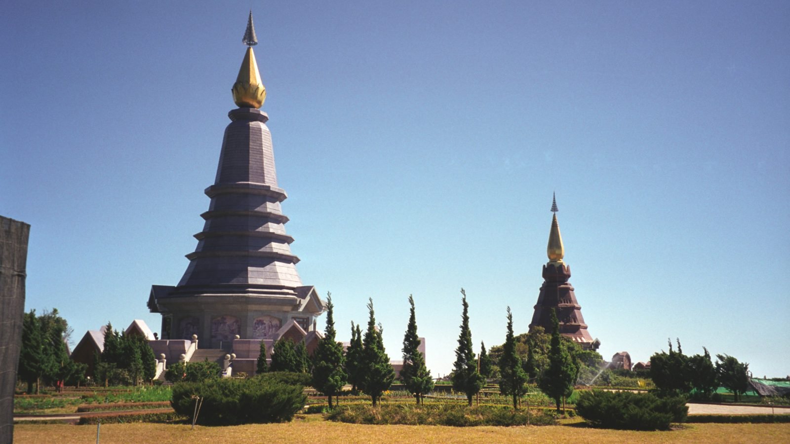
Doi Inthanon is the roof of Thailand: a 2,565-metre mountain wrapped in cloud forest, crowned by twin royal pagodas and laced with waterfalls, rice terraces and Karen and Hmong villages. Just south-west of Chiang Mai, it is a complete change of air - cool, green and often misty - and a favourite with hikers, birdwatchers, photographers and anyone who needs a break from temples and traffic.
Most people squeeze it into a day trip, but one or two nights let you see it properly: sunrise above the clouds, the ridge trail before the crowds arrive, and quiet evenings in a village homestay with home-grown coffee in the morning.
🌴 Doi Inthanon in your trip?
Add it in the trip planner →For each activity you get up-to-date availability and prices — so you book ahead at the best rate.
The park lies roughly 100 km south-west of Chiang Mai, the nearest airport, and the drive via Chom Thong and the winding summit road takes about 1.5-2 hours. There is no useful direct public transport to the viewpoints: yellow songthaews run from Chiang Mai to Chom Thong, where red songthaews can be chartered up the mountain, but most visitors hire a car with driver, join a tour or ride a scooter (only if experienced - the road is long and steep). Foreign adults pay a park entry fee of around 300 THB, with a separate small fee for the pagodas.
Start high. The summit itself is marked by a small shrine and the boardwalk of the Ang Ka Nature Trail, a moss-draped cloud forest that feels almost Scottish. A few kilometres below stand the Twin Royal Pagodas, surrounded by flower gardens and wide views on clear days. The highlight for walkers is the Kew Mae Pan Nature Trail, a roughly 3 km ridge loop that must be done with a local guide and closes in the rainy season (usually June to October). Arrive early - clouds often roll in by late morning.
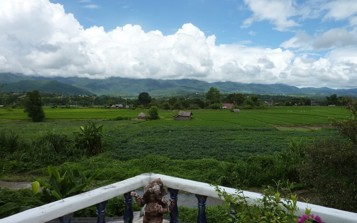
On the way up, stop at Wachirathan Waterfall, the most dramatic of the park's falls, and the gentler Sirithan nearby. Lower down, Ban Mae Klang Luang is a Karen village famous for its terraced rice fields, which glow green in the rainy season and gold before harvest around October-November. Local guides lead the Pha Dok Siew trail past coffee gardens and cascades, and several families run simple homestays and coffee roasteries - the most rewarding way to spend a night on the mountain.
Options are simple but atmospheric. The national park runs bungalows and a campsite near the headquarters, where tents can be hired - bring warm layers, as nights are cold. Village homestays around Mae Klang Luang offer home-cooked Karen meals, while a handful of resorts sit in the valley near Chom Thong. For lunch, the Royal Project at Khun Klang serves fresh highland produce, trout and strawberries, and roadside stalls sell grilled corn, sweet potatoes and hot soy milk.
The cool season from November to February brings clear mornings, blooming flowers and summit temperatures that can drop close to freezing, making it the busiest time, especially at weekends and over New Year. March and April are hazy from agricultural burning across the north. The rainy season from June to October turns the waterfalls into roaring torrents and the rice terraces bright green, but the Kew Mae Pan trail closes and the summit is frequently lost in cloud. Whatever the month, pack a warm jacket.
Compare prices from several providers for this place in one click.
All hotels in Doi Inthanon →1-2 nights to catch a summit sunrise, hike the ridge trail and linger in the villages instead of rushing a day trip.
Ready to plan?
Build your Thailand route →